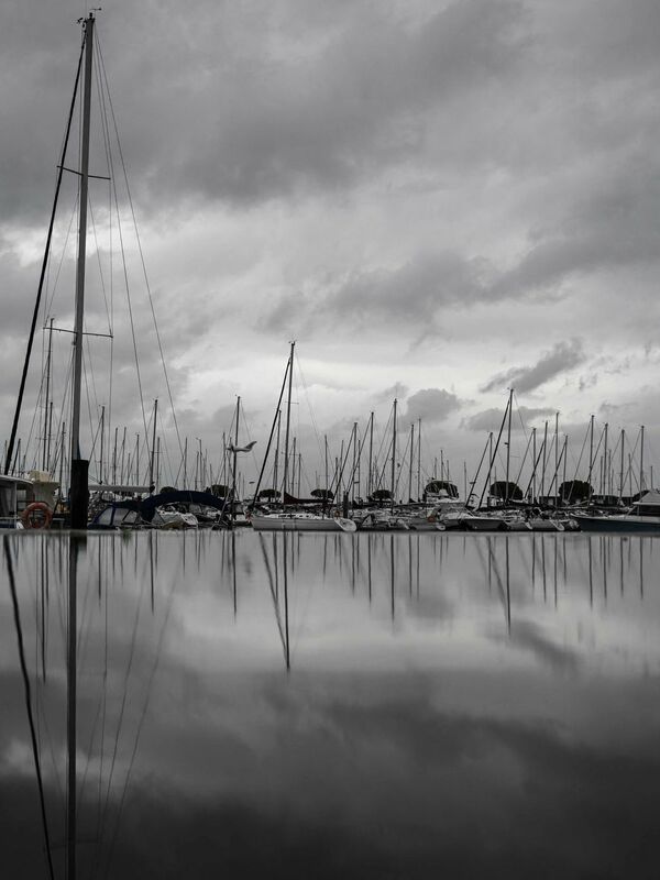
Hurricane Ciaràn, accompanied by strong storms, hit northwest France. Fallen trees blocked roads and railway lines. Hundreds of firefighters were on duty. As a precaution, some cities evacuated areas directly on the coast. A 21 meter high storm wave was measured off the Finistère department.
1.2 million homes in France are without electricity. The Minister of Energy Transition, Agnès Pannier-Runacher, stated that technicians are busy restoring supply. 780,000 of the affected homes are in Brittany, electricity supplier Enedis announced. 3,000 technicians are on duty.
First death
Meanwhile, in France the first fatality was recorded due to the storm: a truck driver died during the night when his vehicle was hit by a falling tree, Transport Minister Clément Beaune told France Info. Although the storm is already subsiding in some parts of the country, people should be careful and respect traffic bans in the regions, he said. At least two people were slightly injured: a firefighter and a driver whose car was also hit by a tree.
There is a risk of flooding from storm waves on the Atlantic coast, the northern coast and the eastern coast of the Mediterranean until the evening. Authorities are urgently warning about the storm. Communities reinforced dams and placed additional barricades near the coast on Wednesday.
Hurricane depression hits south west England and Channel Islands
The hurricane, called “Emir” in Britain, also hit southwestern England and the Channel Islands on Thursday night. According to police, winds of up to 164 kilometers per hour were measured on the island of Jersey. «Please stay inside. “It is very dangerous out there,” a statement from Jersey Police said. About 40 people were evacuated from their homes overnight due to storm damage, police said. Media reported covered roofs and downed trees. Air traffic to and from Jersey has been suspended, according to a BBC report. Schools remained closed.
There are also severe restrictions due to the storm on the south coast of England. Hundreds of schools in Cornwall and Devon remained closed. It was reported that 6,000 homes in Devon were left without power. The hurricane was expected to cause further damage along the southeast coast of England during the day. Several train operators in the Greater London area asked people to only make essential journeys.
Restricted traffic
In France, rail services in the regions of Brittany, Normandy, Pays de la Loire, Hauts-de-France and Center Val de Loire were largely suspended on Thursday. In three particularly affected departments, Transport Minister Beaune asked the population not to use cars. Initially, trucks were not allowed to circulate either. In some cases, reduced maximum speeds in road traffic should apply. Communities reinforced dams and placed additional barricades near the coast on Wednesday.
The flights were unable to land at Nantes airport due to bad weather and were diverted south towards Toulouse.
Low temperatures are likely to reach the Netherlands and Belgium today
Other countries are also likely to feel the decline on Thursday. Warnings about the storm were issued across much of the Netherlands. The Meteorological Institute predicts gusts of up to 110 kilometers per hour for Thursday, especially on the coasts. The ANWB motoring club appealed to people to work from home on Thursday if possible. Extremely long traffic jams are expected due to strong winds and heavy rain.
Hundreds of flights have been canceled in the Netherlands due to the approach of storm “Ciaran”. This was announced by a spokesperson for Amsterdam Schiphol Airport. Passengers would also need to be prepared for delays. Other airports also reported cancellations. Due to the expected strong gusts of wind, shipping from the North Sea to Westerschelde in the south-west of the country was also stopped. Additionally, some ferries to the Wadden Sea islands cannot operate.
In Belgium, parks and other wooded areas will remain closed in some places as a precaution. According to the railway, no trains will run between France and Belgium on Thursday. According to the information, no trains should run between the city of Bruges and the North Sea coast; For the rest of the trains a speed limit applies. According to forecasts from the Royal Meteorological Institute, wind gusts of between 80 and 90 km/h in the east of the country and 100 to 110 km/h in the west are expected in Belgium.
East Frisia and Heligoland are affected
Germany should also feel somewhat depressed, but only very weakly. The German Meteorological Service issued a storm and severe weather warning for the German Baltic and North Sea coasts this morning. Gusts of up to 90 kilometers per hour are expected at noon.
In the North Sea, East Frisia and Heligoland are particularly affected. Strong winds are expected to remain strong for the most part in the Baltic Sea, but stronger gusts are expected from Flensburg to Fehmarn and Rügen. The strong wind will be accompanied by dense clouds and showers with temperatures between 11 and 14 degrees. The wind is expected to ease slightly into the weekend, but it will remain mostly stormy and rainy.

“Bacon nerd. Extreme zombie scholar. Hipster-friendly alcohol fanatic. Subtly charming problem solver. Introvert.”


